„(1752) Mapa Uhorska (‚A new and accurate Map of the Kingdom Hungary and Principality of Transilvania…‘) Slovakika“ produkt byl přidán do košíku. Zobrazit košík
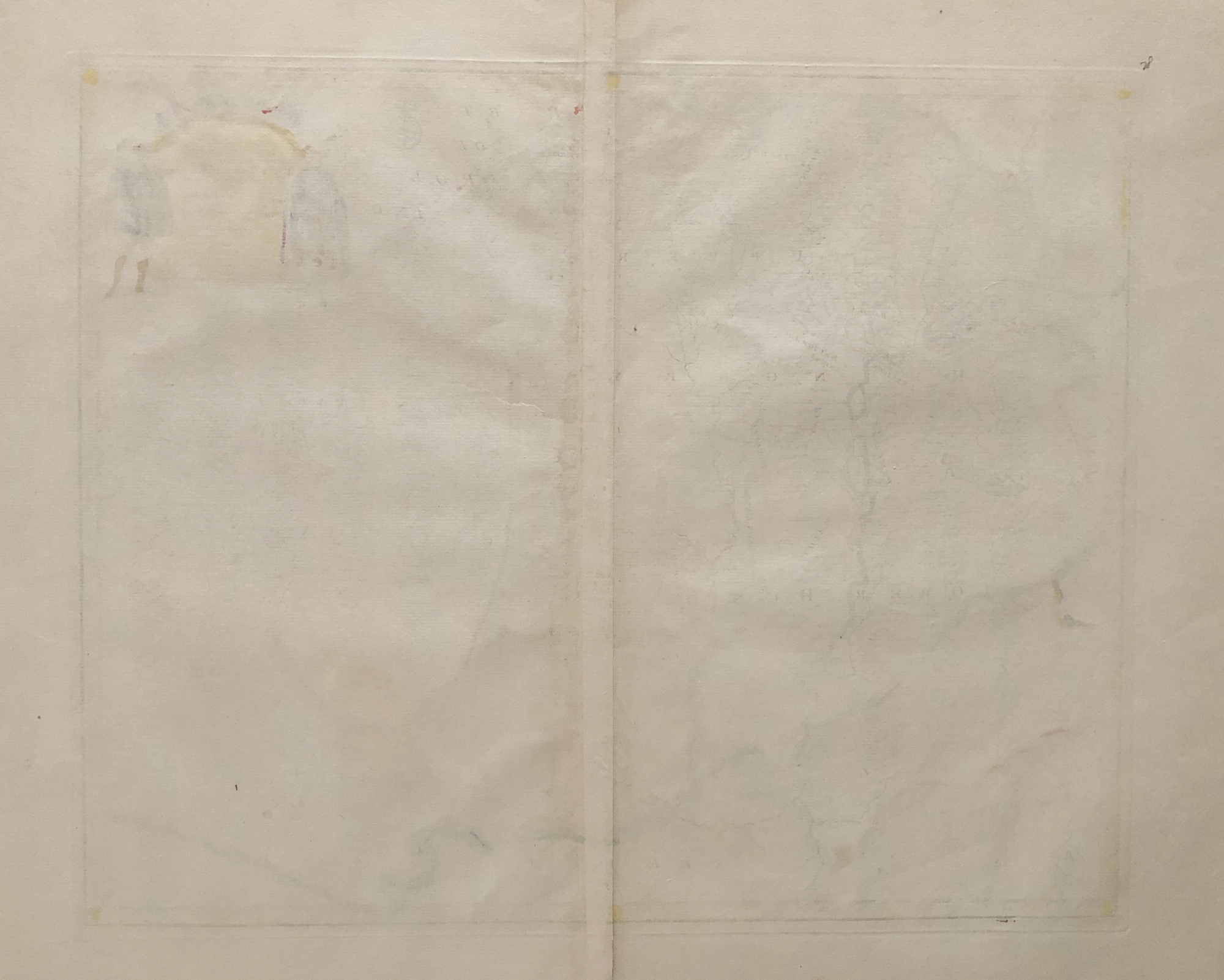
(1752) Mapa Uhorska (‚A new and accurate Map of the Kingdom Hungary and Principality of Transilvania…‘) Slovakika
1500 €
1747, originálna kolorovaná rytina, rozmery listu: 41 x 53 cm, ‚A new and accurate map of the kingdom of Hungary and principality of Transilvania : with the bordering countries. Drawn from the best authorities, assisted by the most approved modern maps. The whole being regulated by astronomical observations / by Eman. Bowen.‘
Z diela Bowen, Emanuel: A Complete System of Geography: Being a Description of All Thecountries, Islands, Cities, Chief Towns, Harbours, Lakes, and Rivers, Mountains, Mines, &c. of the Known World. Shewing the Situation, Extent, and Boundaries of the Several Empires, Kingdoms, Republics, Principalities, Provinces, &c …, vydal William Innys, Londýn, 1747. Ilustrácia číslo 30.
Emanuel Bowen (1694? – 1767) bol britský rytec a obchodník s tiskovinami. Bol najznámejší pre svoje atlasy a krajské mapy. Aj keď zomrel v chudobe, bol za svoju odbornosť všeobecne uznávaný a bol menovaný za hlavného tvorcu máp pre George II. v Anglicku a Louisa XV. vo Francúzsku. Jeho podnikanie vykonával aj jeho syn Thomas Bowen. Vyučoval tiež mnoho učňov, z ktorých dvaja sa stali významnými tvorcami máp, Thomas Kitchin a Thomas Jeffreys.

 Cart /